|
Welcome to
ESL Printables,
the website where English Language teachers exchange resources:
worksheets, lesson plans, activities, etc.
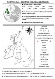
The British Isles - Maps and Geography worksheet
|
|||||||||||||
| |||||||||||||
|
Welcome to
ESL Printables,
the website where English Language teachers exchange resources:
worksheets, lesson plans, activities, etc.
The British Isles - Maps and Geography worksheet
|
|||||||||||||
| |||||||||||||

")


")