|
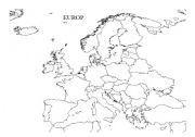
Europe
An outline map of Europe on one side with colouring in and labelling instructions on the other
Level: elementary
Age: 6-11
Type: worksheet
Downloads: 6
|
|
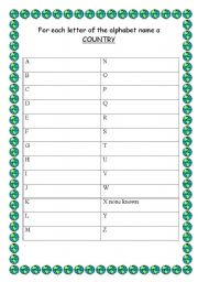
Name a Country for Every Letter of the Alphabet
this tries to get students used to using an atlas or globe and familiarise themselves with the layout of the world. Possible answers are provided on sheet 2- though as yet there seems to be no country beginning with �x�.
Level: elementary
Age: 6-17
Type: worksheet
Downloads: 6
|
|
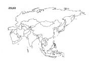
Asia
An outline of Asia on one side and colouring in and labelling instructions on the other
Level: elementary
Age: 6-11
Type: worksheet
Downloads: 4
|
|
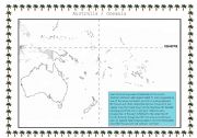
Australia /Oceania
On one side an outline map of Oceania and on the other side colouring in and labelling instructions. Includes basic information about the International Date Line and Tropics and emphasises the island nature of the region.
Level: elementary
Age: 6-14
Type: worksheet
Downloads: 4
|
|
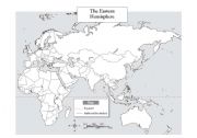
Eastern Hemisphere
An outline map with colouring in and labelling instructions. It is designed to all students to find countries and seas using just the instructions provided. There is an emphasis on the seas here. It is really to familiarise students with the �layout� of the world.
Level: elementary
Age: 8-17
Type: worksheet
Downloads: 3
|

|
For each letter of the alphabet name a city
An exercise to familiarise students with the layout of the world and with using a globe or atlas. The second sheet provides possible answers if you need to prompt them to certain countries.
Level: elementary
Age: 7-17
Type: worksheet
Downloads: 3
|
|
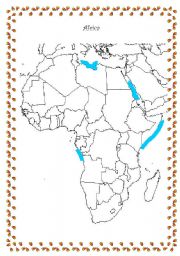
AFRICA
An outline map of Africa with colouring in and labelling instructions on the second sheet. It is designed to be self-contained though an atlas may help. The aim is to familiarise students with the layout of the world.
Level: elementary
Age: 8-17
Type: worksheet
Downloads: 2
|
|
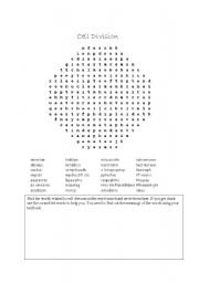
Cell Division Wordsearch A level
A wordsearch thaat familiarises A level students with cell division terminology
Level: advanced
Age: 14-17
Type: worksheet
Downloads: 1
|
|
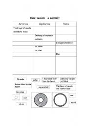
Blood Vessels - a comparison
Aimes at KS3/4 - can also be used as a cut and stick.
Level: intermediate
Age: 12-17
Type: worksheet
Downloads: 1
|
|
for each letter of the alphabet name a river
An exercise to familiarise students with the layout of the world and particularly some of the physical geography, and also using a globe or atlas. Possible answers provided on the back with the countries they pass through.
Level: elementary
Age: 8-17
Type: worksheet
Downloads: 1
|